Revolutionising the utilities sector with cutting-edge drone tech
Start and scale your operations with comprehensive support from heliguy™
How drones transform utility inspection
Digitise your infrastructure
How drones transform utility inspection
Digitise your infrastructure
Increased Safety
Reduce the need for workers to climb towers, enter hazardous areas, or operate near live infrastructure. This lowers the risk of injury and helps meet stringent health and safety standards.
Greater Efficiency
Cover large areas quickly, access hard-to-reach locations, and capture accurate and versatile data. This improves uptime and reduces operational disruption.
Cost Savings
Minimise downtime, reduce labour and equipment costs, and benefit from predictive maintenance through regular inspections. Turn your asset management workflows from reactive to proactive.
Enhanced Response
Accelerate your response to a critical incident. Quickly access damage in the wake of a storm, manage site security for a proactive response, and enhance situational awareness for an informed and effective incident response.
Sustainability
Drones support the electricity sector’s sustainability goals. Benefit from a lower carbon footprint than helicopters or truck-based inspections, and reduce the need for physical access to remote locations, preserving sensitive environments.
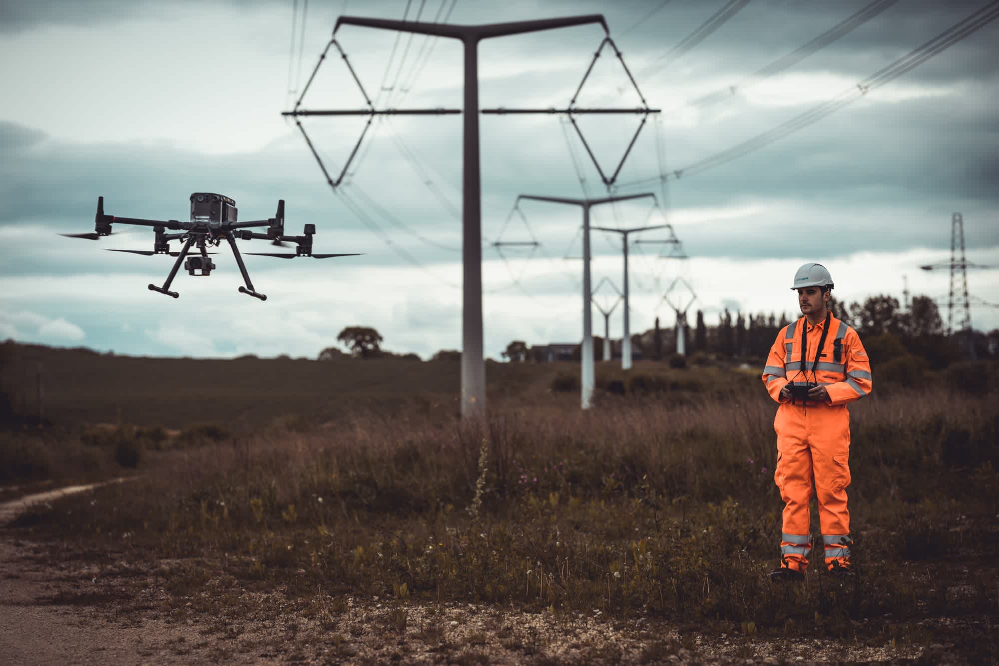

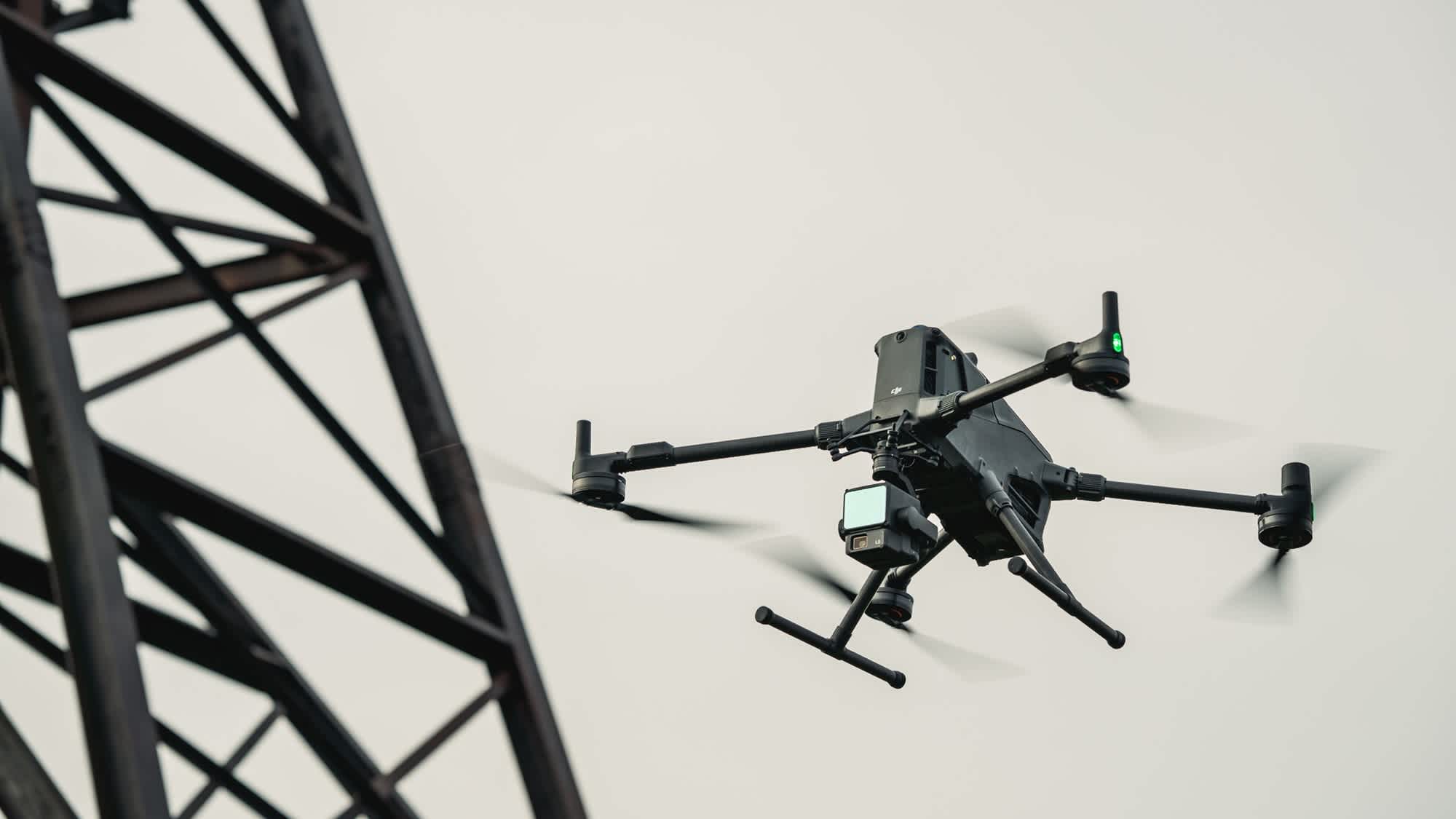
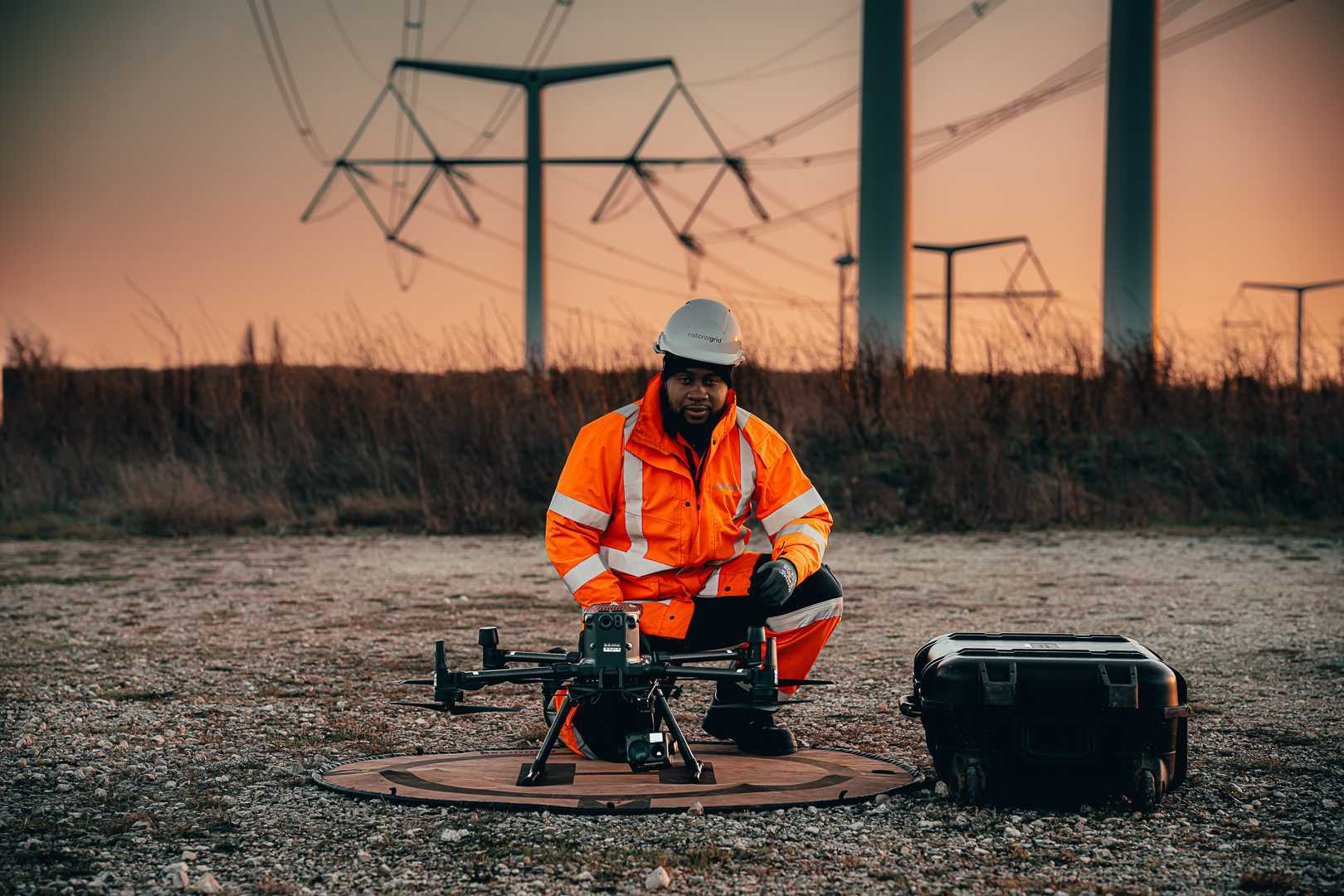
Versatile data collection
Tailored insights for your operational requirements
Protect your critical assets
Data-driven action plans
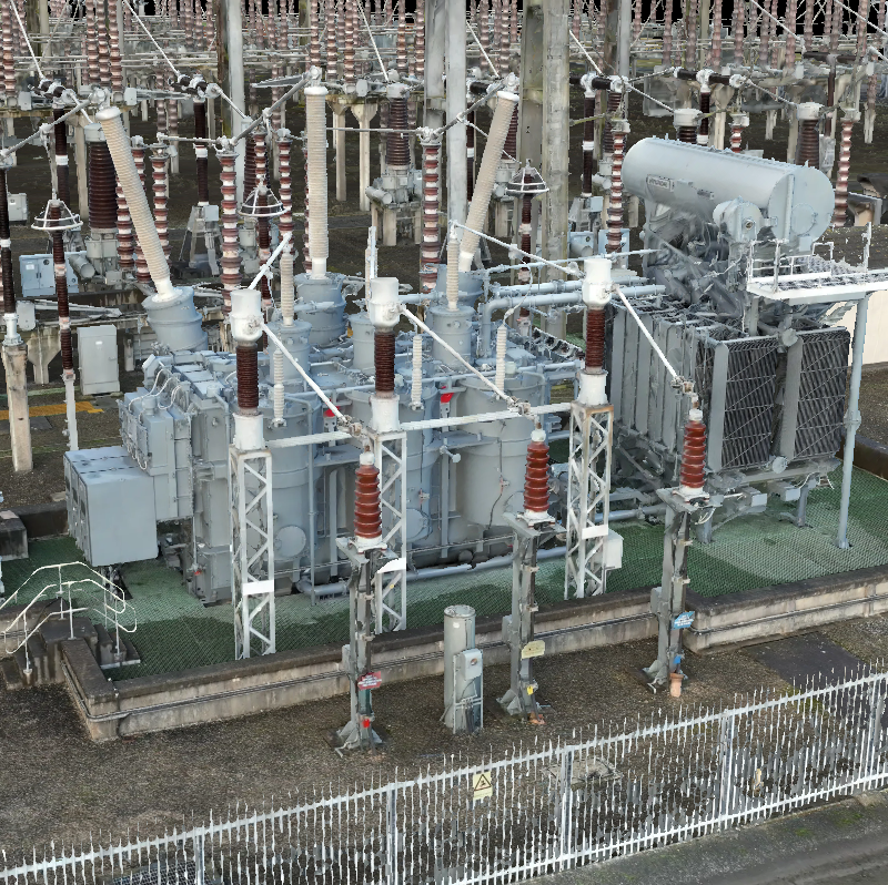
Substation Management
Ensure the reliable performance of critical grid infrastructure. Conduct safe, ground-free inspections of transformers, switchgear, and fencing, detect overheating components, and support security checks and maintenance planning.
Distribution Network Monitoring
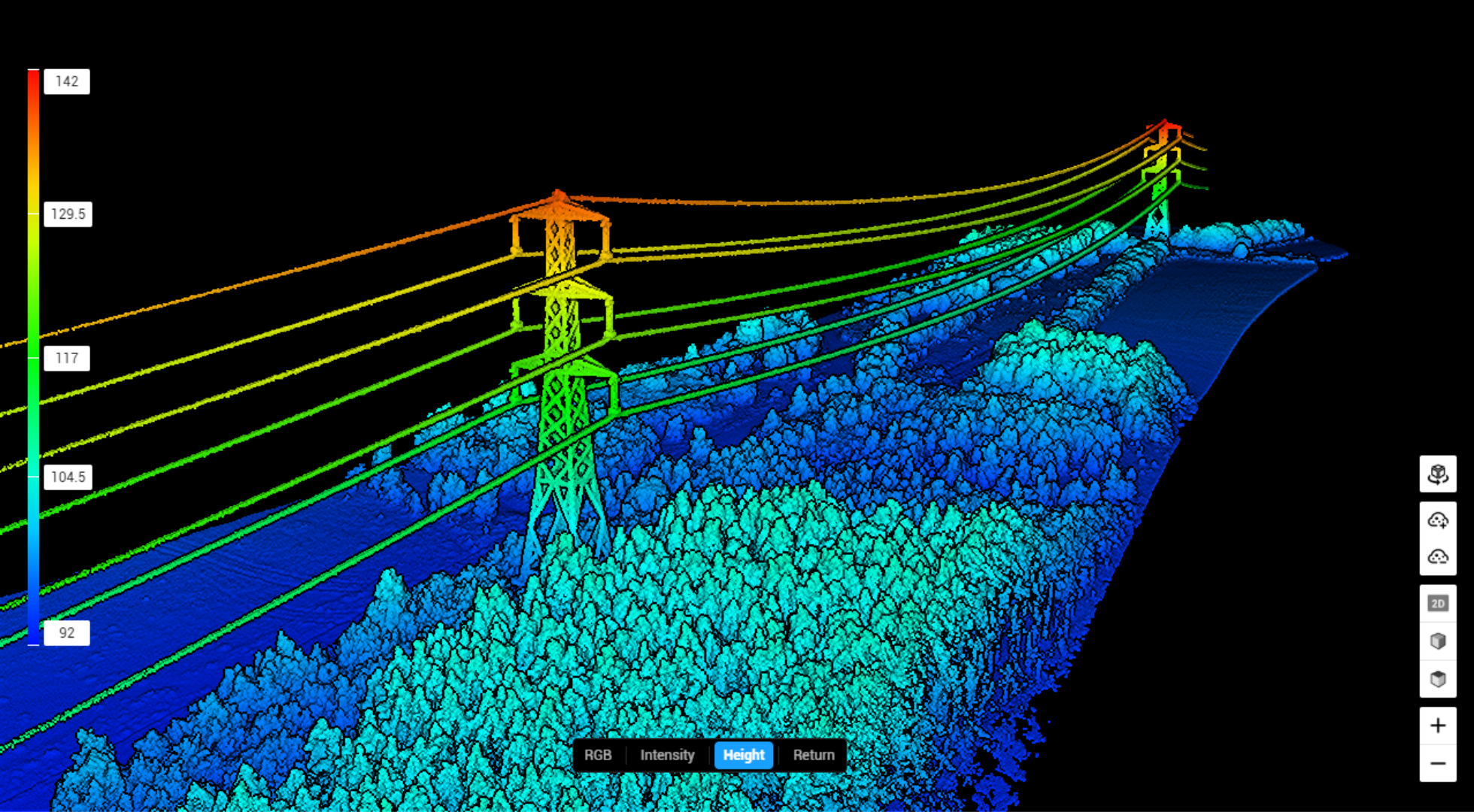
For long, complex distribution networks, drones offer efficient inspection of poles, lines, and insulators. Detect faults, vegetation encroachment, and storm damage quickly—minimising outages and improving response times. Automated flight paths ensure consistent coverage, while reducing reliance on costly, time-consuming ground patrols or helicopter surveys.
Power Generation Asset Inspections
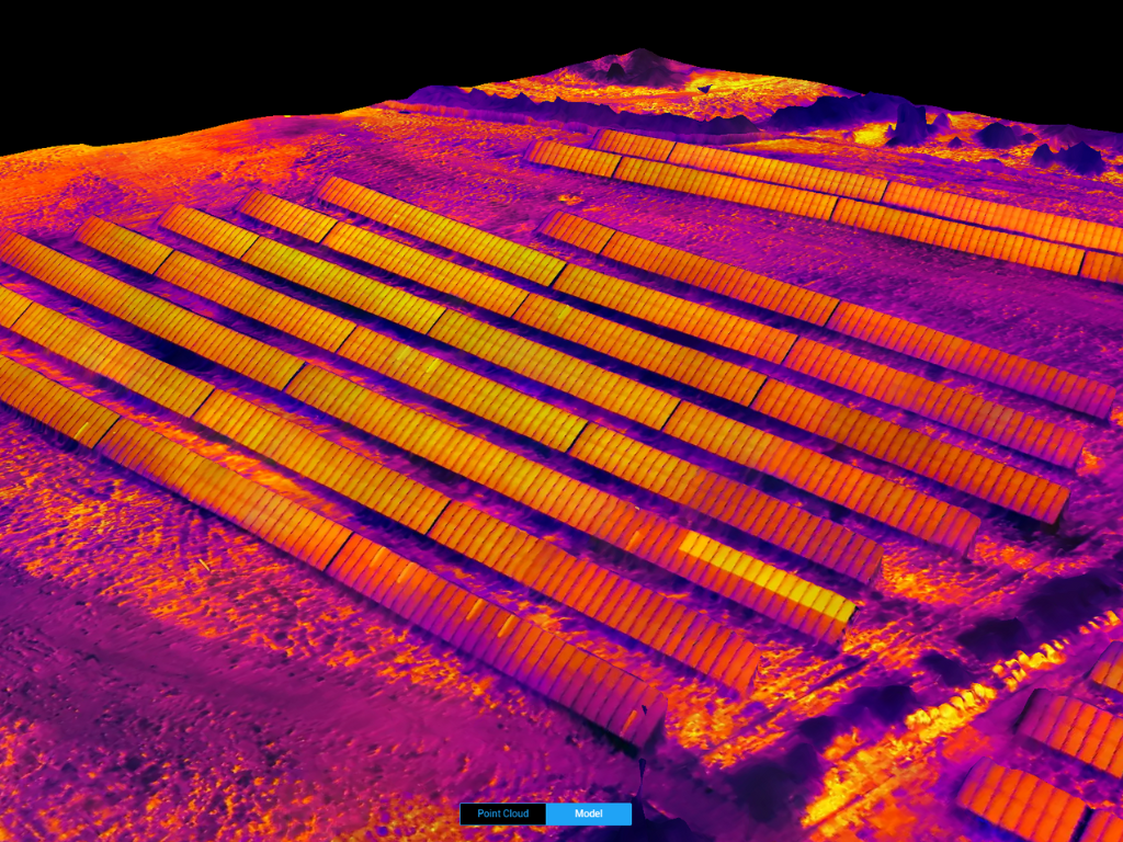
Drones streamline inspections of solar farms and hydroelectric facilities, identifying panel faults, shading issues, or structural damage. In hard-to-access environments like dams or reservoirs, aerial assessments improve safety and efficiency - supporting preventive maintenance and maximising clean energy output.
Versatile deployment
Local or remote operations
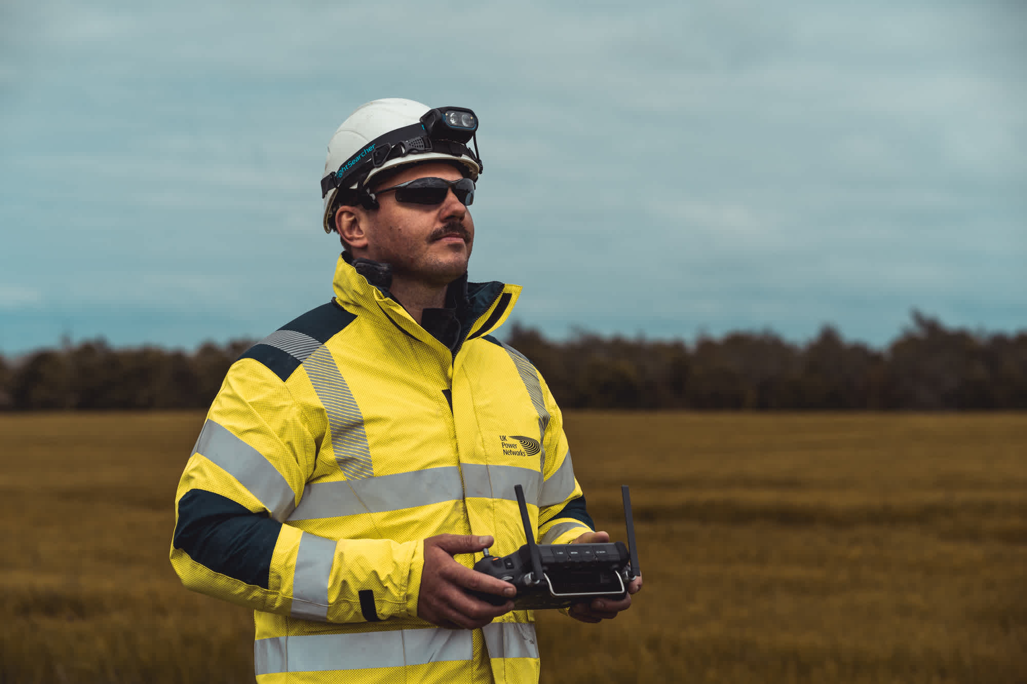
Empower frontline staff
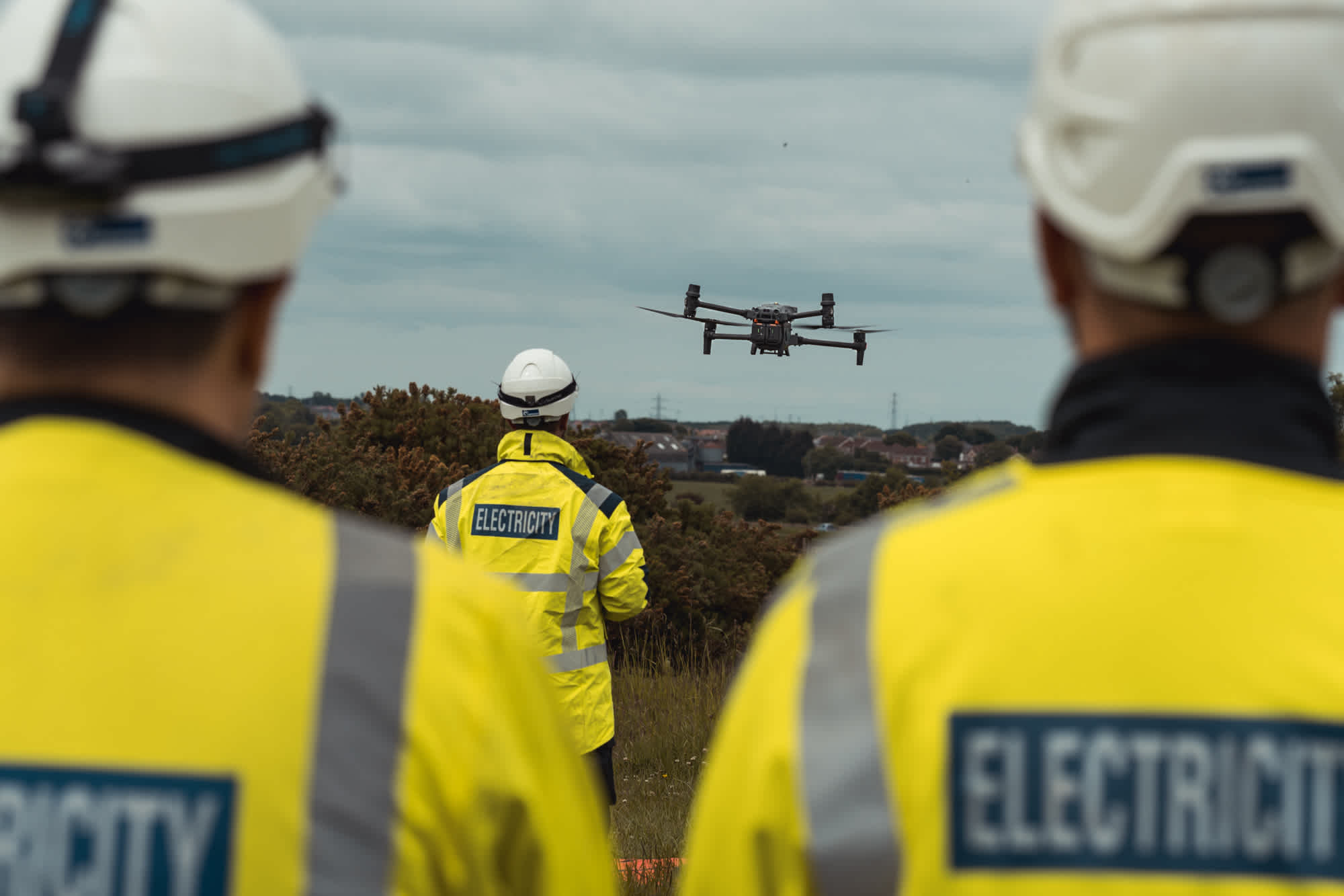
Equip staff on the ground with drones. Conduct automated flights for streamlined data acquisition.
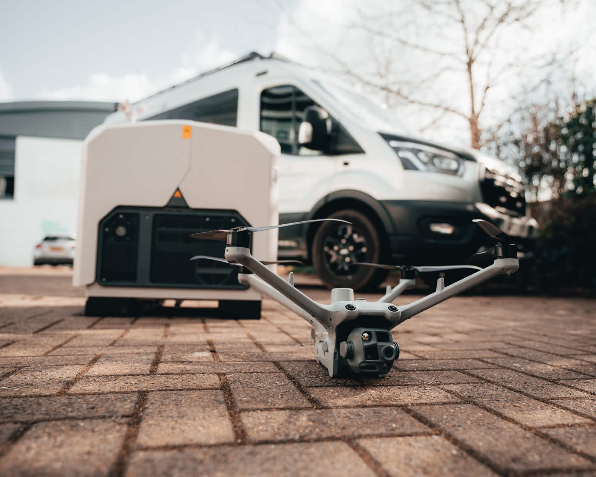
Remote operations
Further enhance efficiency and deploy on-demand with strategically-placed onsite Docks, for remote and automated data collection.
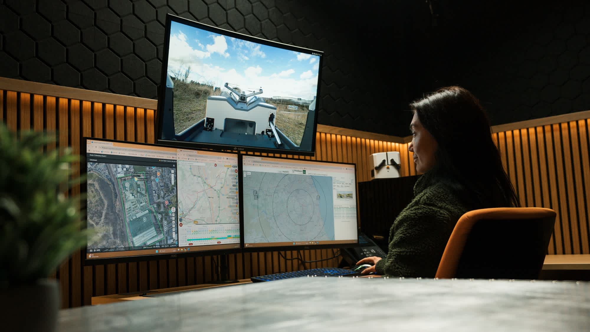
Centralise inspections
Scale to a fleet of Docks across multiple sites. Schedule operations, deploy on-demand, and centralise data - all from one remote operations centre.
DJI drones for utilities inspection
Advanced functionality for easier and safer data collection
Advanced drone tech stack
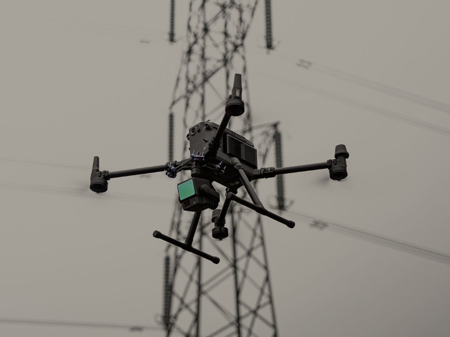
Scalable hardware solutions from DJI
- Drones
- Payloads
Protect your sensitive information
Robust data security protocols
DJI drones are equipped with robust data security mechanisms. Benefit from Local Data Mode to keep your device offline and AES-256 encryption protection between the drone and the controller. Meanwhile, DJI FlightHb 2 software suite uploads, stores and manages data on cloud servers operated by AWS - compliant to ISO/IEC 27001 security certifications. For enhanced protection, use FlightHub 2 On-premises in an isolated intranet environment.
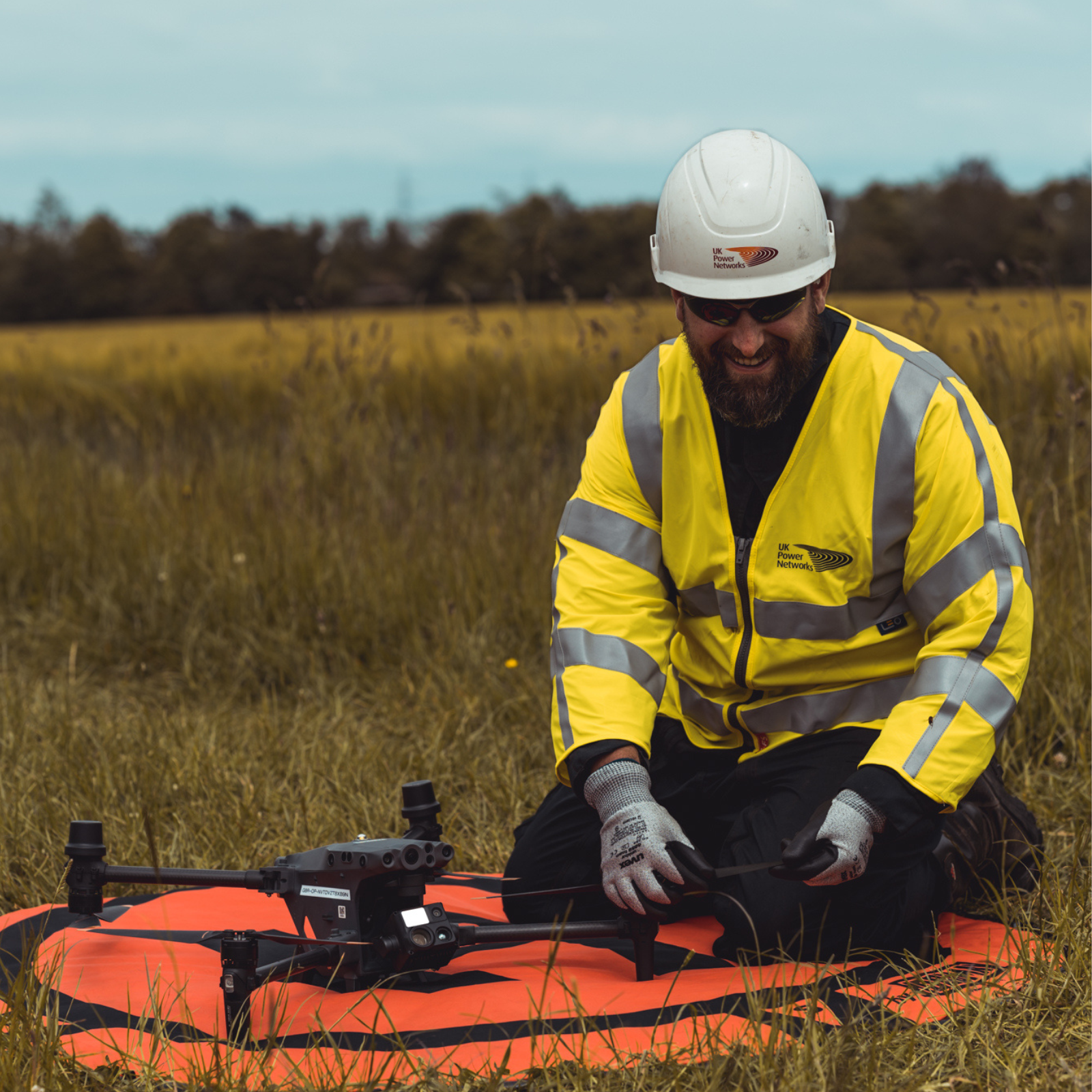
Software suite
Mission planning, fleet management, and 3D outputs
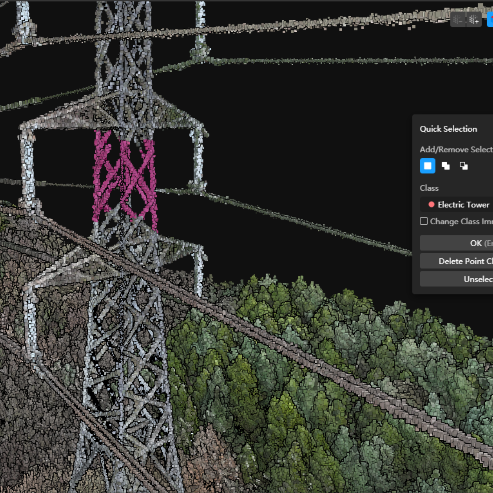
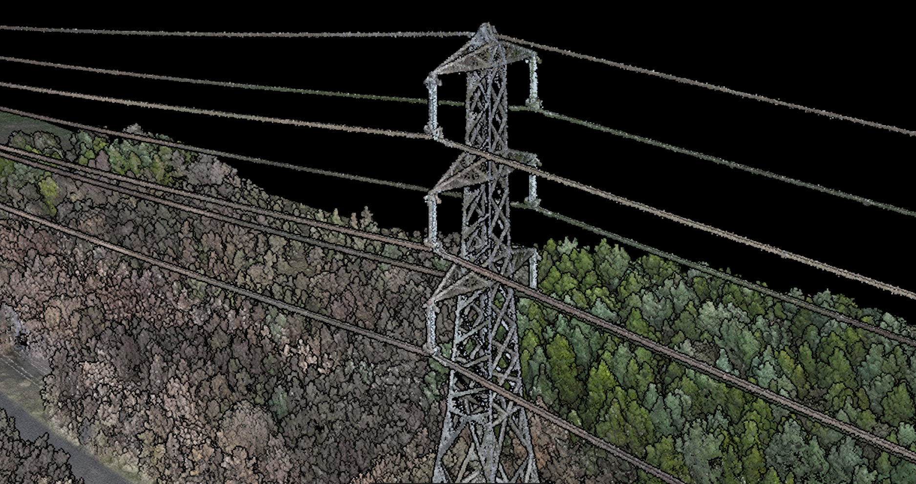
Harness DJI’s software suite for an end-to-end solution. For survey operations, deploy DJI Terra for processing, building, and sharing 3D outputs and LiDAR point clouds. Or utilise FlightHub 2 - an all-in-one drone operations management platform. When combined with DJI Docks, utilise FlightHub 2 to schedule missions or launch real-time missions remotely, and establish geofences and custom flight areas.
